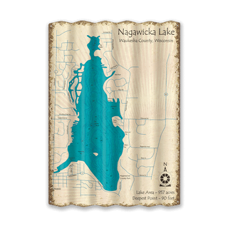
This vintage-style lake map art celebrates Nagawicka Lake, a glacial “kettle lake” in Waukesha County known for its sandy shoreline and deep clear waters. Covering roughly 981 acres and plunging to a 90‑foot maximum depth, it ranks among the deepest lakes in Southeastern Wisconsin. The Ojibwa name “Nagawicka,” meaning “there is sand,” reflects the sandbars near St. John’s Island and along the western shore. Designed with detailed bathymetric contours and hand‑drawn styling, this art piece captures local landmarks, depth zones, boat launches, and more—perfect for lake lovers, residents, or anyone drawn to Wisconsin’s recreational charm. destination.
Other Lakes Available: Don’t see your lake here? Not to worry, contact us and inquire about your lake. We have a vast collection of lake signs in queue to be added to the website, so yours may have not been uploaded yet.
Disclaimer: Maps are intended for decoration only, may contain erroneous information, and may not be used for navigation. All geography changes over time. Lake depths not only change over the years, but season-to-season as well. And ocean depths, of course, change with the tides.
Art by Lake Art.


