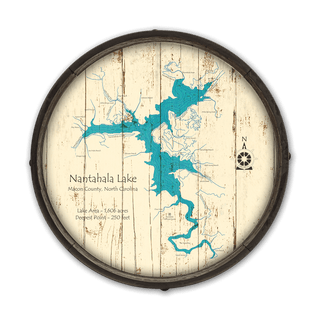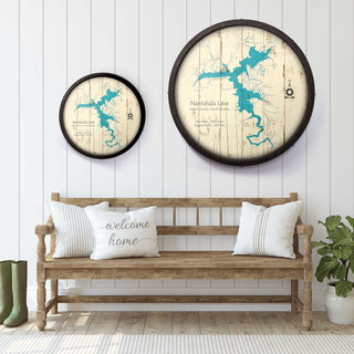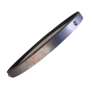
Showcasing the dramatic contours of Nantahala Lake in Macon County, North Carolina, this detailed map captures the lake’s winding arms, feeder creeks, and surrounding roadways. Spanning 1,606 acres with an impressive depth of 250 feet, Nantahala Lake is a high-elevation reservoir known for its crystal-clear waters, tranquil surroundings, and exceptional fishing. Surrounded by the Nantahala National Forest, this secluded lake offers a peaceful retreat for boating, kayaking, and nature exploration. Whether you're drawn to its cool mountain air or the quiet beauty of its coves and inlets, this artwork is a striking tribute to one of western North Carolina’s hidden gems.
Other Lakes Available: Don’t see your lake here? Not to worry, contact us and inquire about your lake. We have a vast collection of lake signs in queue to be added to the website, so yours may have not been uploaded yet.
Disclaimer: Maps are intended for decoration only, may contain erroneous information, and may not be used for navigation. All geography changes over time. Lake depths not only change over the years, but season-to-season as well. And ocean depths, of course, change with the tides.
Art by Lake Art.


